A detailed county map of Nash County, North Carolina, spread neatly across a large wooden conference table, with clearly marked town names, highways, rural roads, and shaded community areas. Color-coded pins and small adhesive flags indicate zones for community outreach, school safety programs, and neighborhood patrols, with a labeled legend in the corner. Soft overhead office lighting and gentle window light combine to create even, neutral illumination, reducing glare on the map’s matte surface. A blurred background of organized file folders, a small American flag on a stand, and a radio on a shelf suggests a strategic sheriff’s office. Photographic realism, shot from a slightly elevated angle, with a calm, methodical, and community-focused atmosphere.

Platform

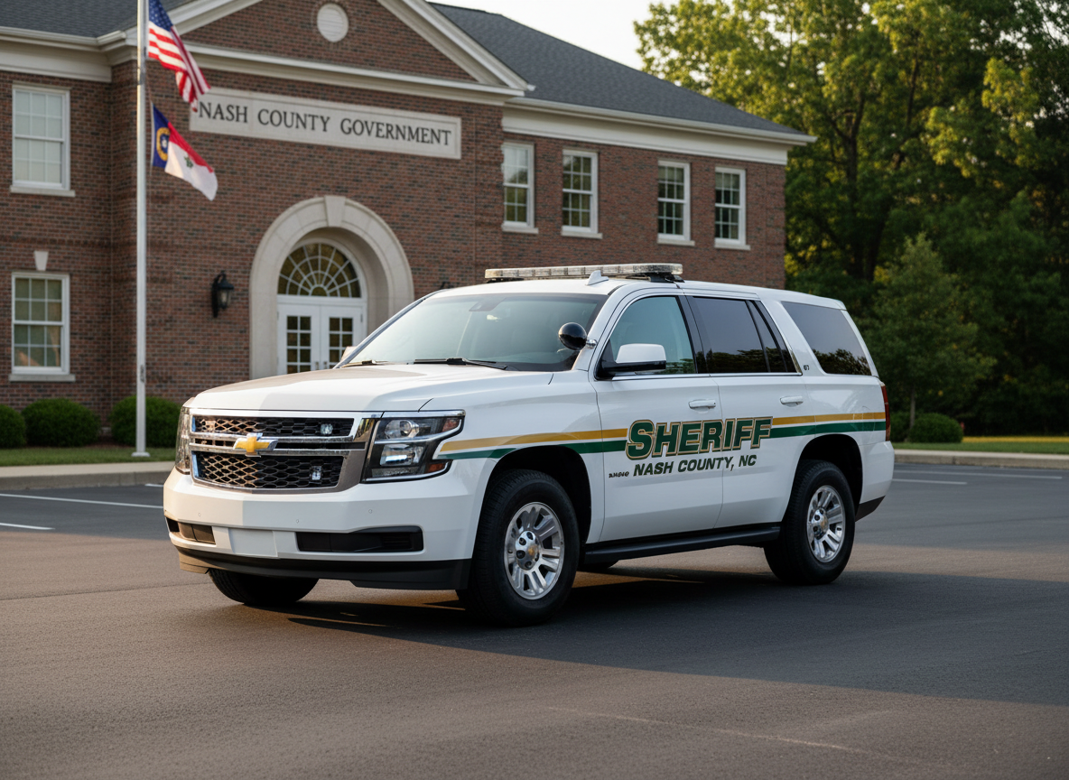
As a retired Major with the Nash County Sheriff’s Office, I am not running against the men and women of this agency. I have worked alongside them and value the professional relationships we built together. I am running for the citizens of Nash County and for the future direction of the Sheriff’s Office.

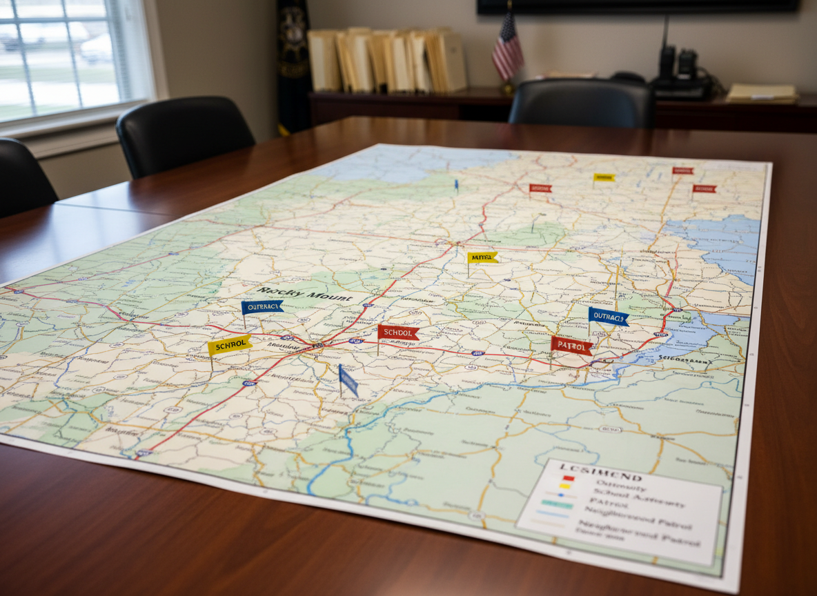
People First Policing

A well-maintained white sheriff’s SUV parked in front of a brick county government building labeled “Nash County” in tasteful, legible signage. The vehicle’s graphics clearly read “Sheriff” and “Nash County, NC,” with reflective gold and dark green striping along the sides, and a light bar on top. The late afternoon golden hour sun casts warm light across the scene, creating clean, elongated shadows on the smooth asphalt and soft highlights on the polished paint. Trees with full green foliage frame the background, while the building’s entrance and flagpole are slightly out of focus. Captured in photographic realism from a three-quarter front angle, conveying readiness, visibility, and professional community service.

Organizes core priorities—like community policing, transparency, and investing in people—into clear, easy-to-scan issue pillars for voters.

A detailed county map of Nash County, North Carolina, spread neatly across a large wooden conference table, with clearly marked town names, highways, rural roads, and shaded community areas. Color-coded pins and small adhesive flags indicate zones for community outreach, school safety programs, and neighborhood patrols, with a labeled legend in the corner. Soft overhead office lighting and gentle window light combine to create even, neutral illumination, reducing glare on the map’s matte surface. A blurred background of organized file folders, a small American flag on a stand, and a radio on a shelf suggests a strategic sheriff’s office. Photographic realism, shot from a slightly elevated angle, with a calm, methodical, and community-focused atmosphere.

Organizes core priorities—like community policing, transparency, and investing in people—into clear, easy-to-scan issue pillars for voters.

Policy Updates